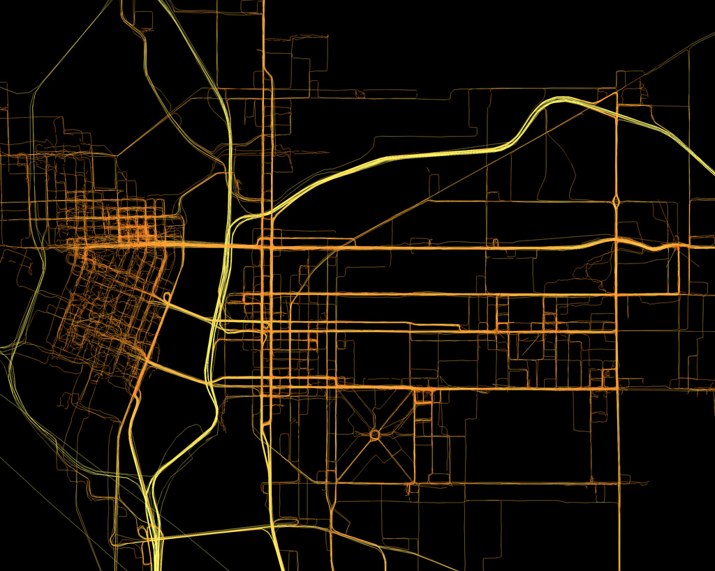
Geolocation
Definition
The use of a technological method to locate the position of something, whether it is an IP address, physical address or a person.
History
"Technology first entered the equation of the Global Positioning System (GPS) in the 1920s, when land-based radio signals calculated the direction and distance of in-range ships. The concept of using satellites for GPS came courtesy of the Russians after the launch of Sputnik in 1957. Two physicists, William Guier and George Weiffenbach, noticed that they could pinpoint the location of the Russian satellite by recording radio frequency signals and correcting for the Dopplar effect, in which radio frequency is higher when an object is approaching and lower as the object moves away".
The United States Navy capitalized on this idea in 1960 by developing Transit, a series of five satellites used to triangulate the position of war vessels. The technology was held privately for seven years before being made public, at which time it was used mainly by large shipping conglomerates. The technology still works today, though its intermittent signal and slow readings prevent it from being used in high-speed travel".[1]
References
- Jump up ↑ [http://wikis.pepperdine.edu/display/GSBME/History+of+Geolocation History of Geolocation from Pepperdine.edu
